See more: 3-Part Cards

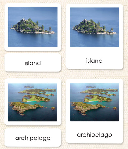
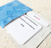
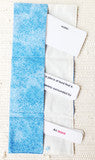
Land & Water 1 3-Part Reading
$19.95 USD
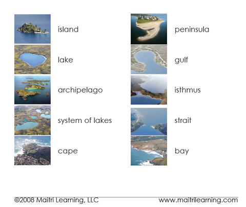
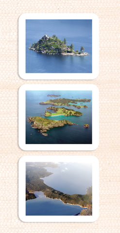
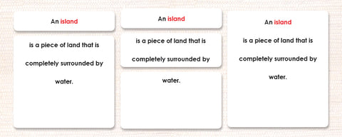
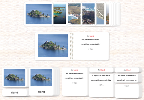
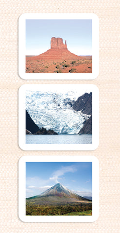
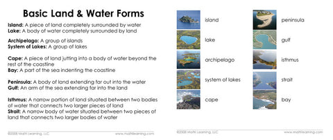
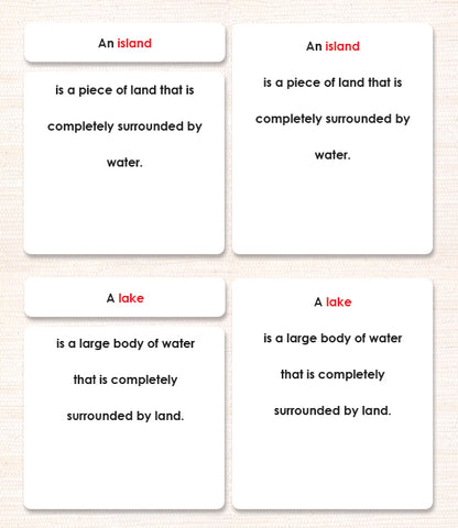
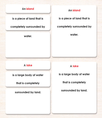
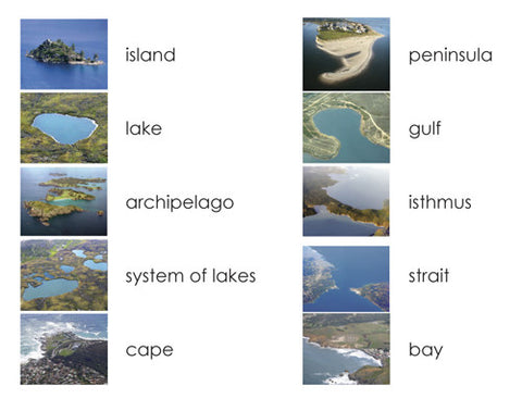
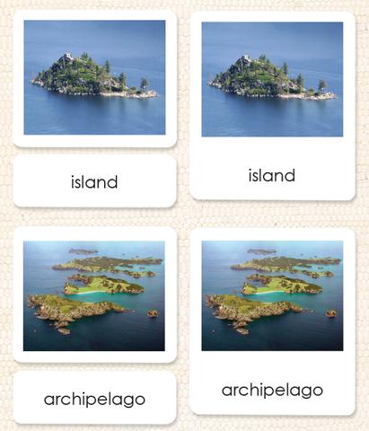
Use these photographs of real locations to clearly depict the 10 basic land and water geographic formations of island, lake, archipelago, system of lakes, cape, bay, peninsula, gulf, isthmus, and strait. 3-part format is perfect for independent early reading/vocabulary knowledge checks.
Share:


You may also like
Land & Water 1 Vocabulary
$9.95 USD
Presenting more advanced terminology, these vocabulary cards are a perfect match for the cards in our 3-Part Cards and Definition Books. Use these along with the books...
More Details →
Land & Water 1 Book
$15.95 USD
Bring your land & water forms to real-life with these beautiful photos. No more brown and blue line drawings! Now you can use real geographical locations to clearl...
More Details →
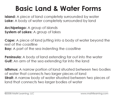
Land & Water 1 Definitions
$20.95 USD
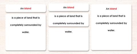
Here they are! Clear, text-only descriptions of each basic Land & Water 1 term. These definition cards match the pages in the Land & Water 1 book, but in this ...
More Details →
Land & Water 1 Book & Card Set
$59.95 USD
If you're studying geography, this is what you want! This discounted set includes one of each of our Land & Water 1 Materials including (see images):
Vocabulary C...
More Details →
Land & Water 2 Vocabulary
$9.95 USD
Presenting more advanced terminology, these vocabulary cards are a perfect match for the cards in our 3-Part Cards and Definition Books. Use these along with the books...
More Details →
Land & Water 2 Book
$15.95 USD
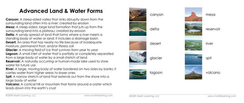
Now you can use real locations to clearly depict the 10 advanced land and water geographic formations commonly included in geography bees.
Fully laminated pages and c...
More Details →